
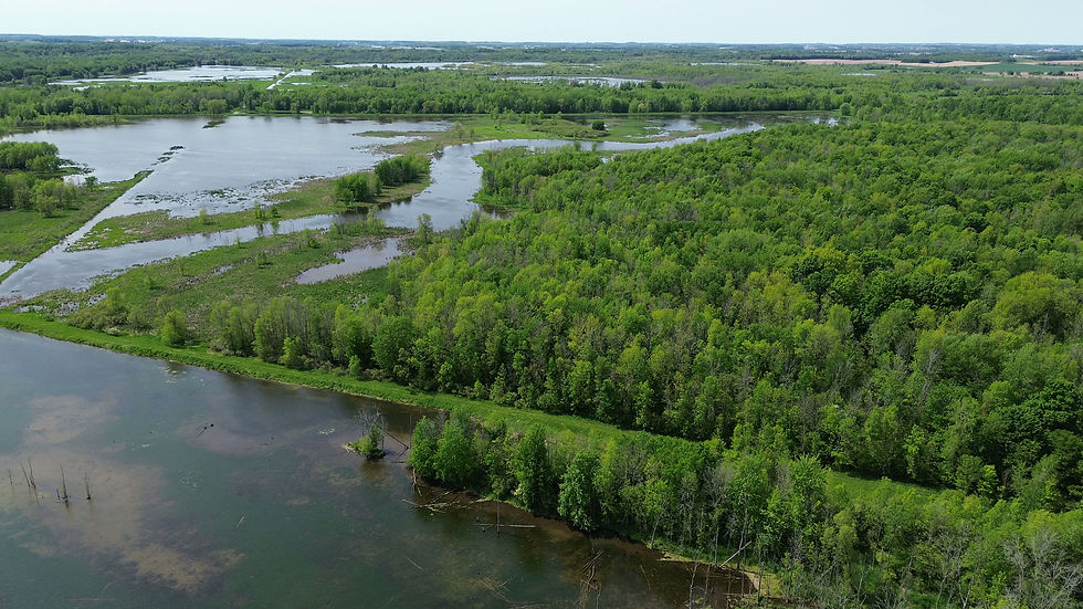
Hullett Water Levels
This dashboard brings together recent telemetry data from regional monitoring networks to provide an estimate of current hydrological conditions and general water availability across Hullett.
Because water levels can fluctuate rapidly in response to local rain events, dry spells, or seasonal shifts, the figures, tables, and charts provided here are designed to illustrate weekly trends and general environmental conditions rather than exact, real-time depths for specific pools in the Marsh. This information is provided for general planning purposes on a use-at-your-own-risk basis. While Friends of Hullett makes every effort to validate these observations, actual field conditions may vary significantly from what is presented here.
Different visitors can use these metrics to prepare for their time on the property:
Paddlers:
Track whether water depths are rising or receding to gauge navigation clarity and route accessibility through the channels
Hunters:
Monitor recent cumulative rainfall and basin flows to evaluate general water availability in surrounding wetland cells and plan their setups.
Birders and Naturalists:
Follow water level movements to anticipate changing shorebird mudflat availability, waterfowl staging shifts, and overall wetland ecosystem vitality.
Please keep in mind that direct water manipulation including engineered control structure adjustments, seasonal flooding, or active wetland management is under the exclusive control of Ducks Unlimited Canada, not Friends of Hullett.
